Imagine: A Super Highway To Oaxaca
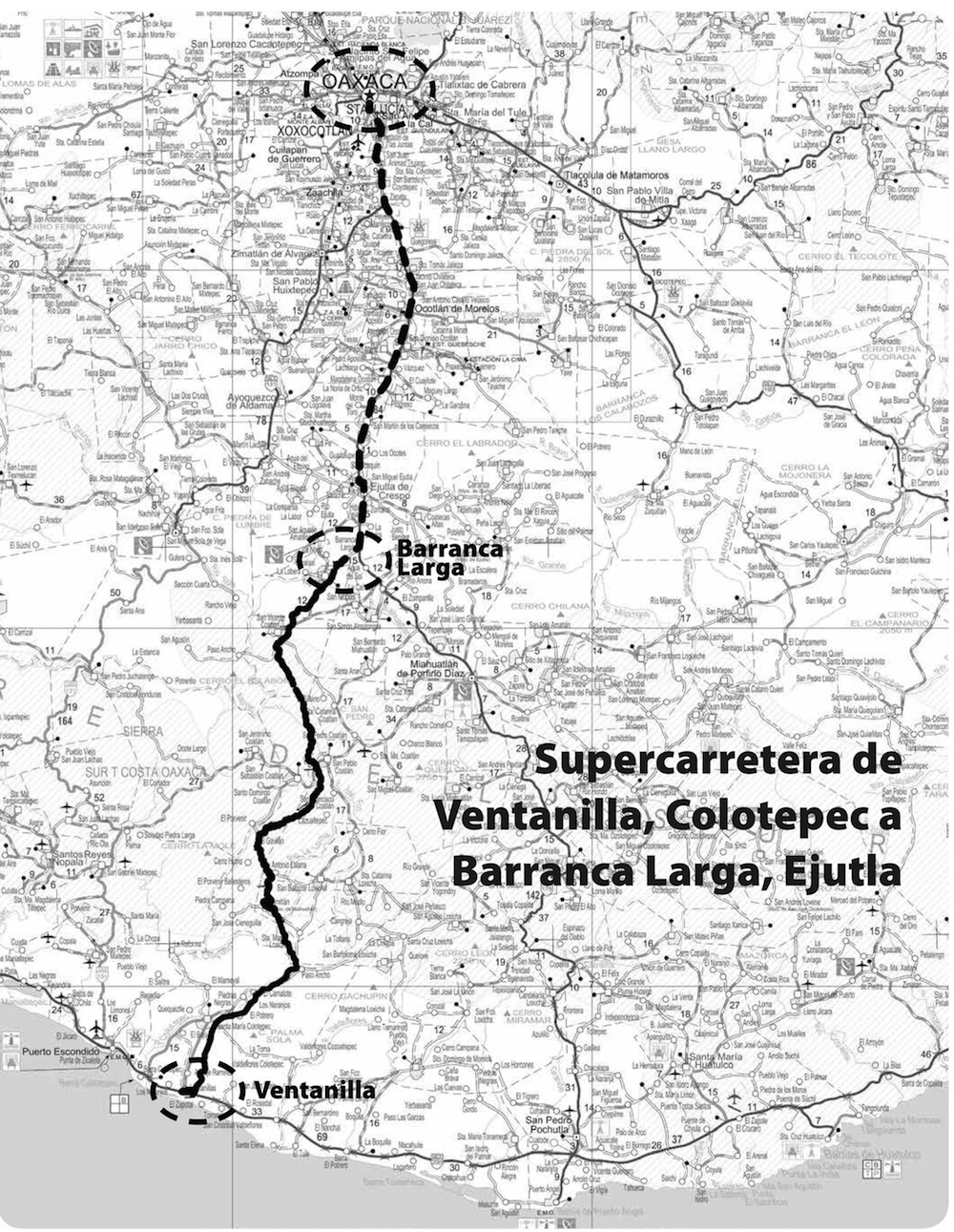
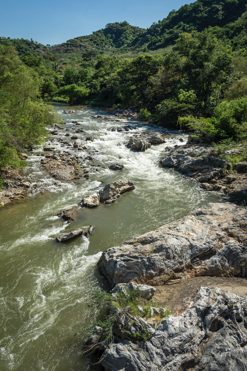
Photo: Ernesto J. Torres
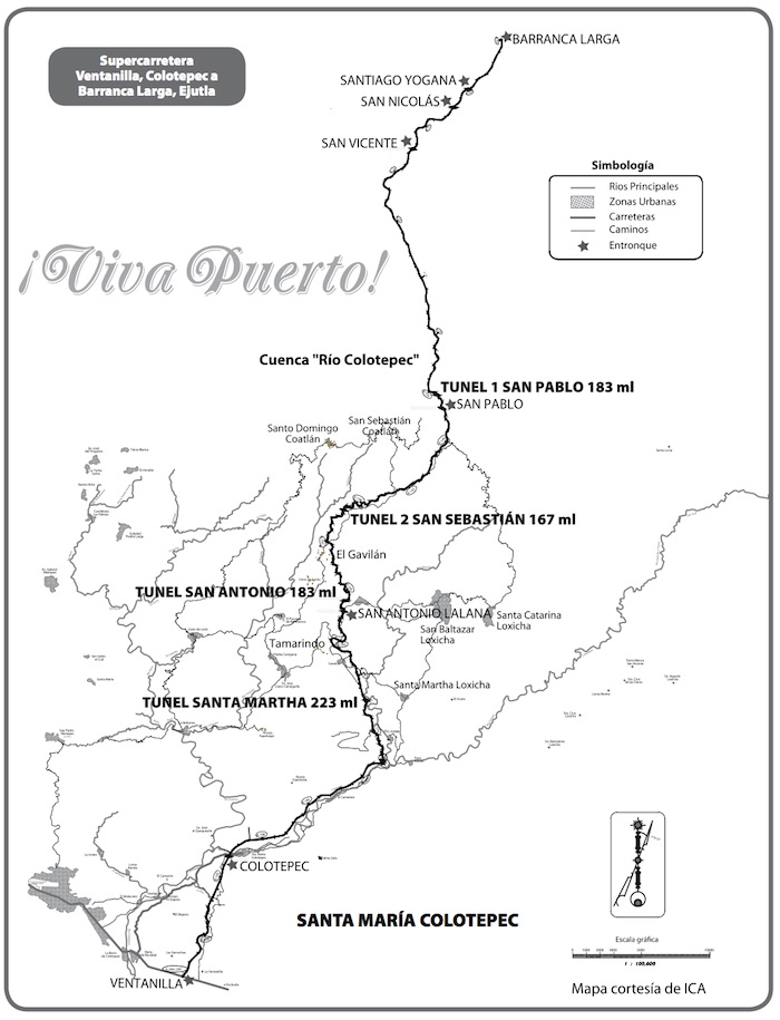
It seemed a good idea at the time. A highway from the Coast near Puerto Escondido that would halve the drive time to Oaxaca, by slicing mountains and building tunnels and bridges. The Super Highway, as it was called, would be a 104 km toll road between Ventanilla, Santa Maria Colotepec and Barranca Larga, Ejutla. At the southern end, it connected to the Coast highway leading to Huatulco to the east and Puerto Escondido to the west. In the north, it linked to Highway 175 to Oaxaca.
The benefits were obvious. It would be a boon to tourism in the state. You could visit the pyramids in Monte Alban and watch the sunset on the Pacific all on the same day. For people living in Puerto Escondido, it meant being only 2 ½ hours from shops and clinics and cultural events. For many it meant being able to visit family members who lived in distant parts of the state.
The plan was for the super highway to be a joint Federal and private venture. The proposed construction time was two years. The 30-year concession, which included receiving the money from the tolls, went to the Omega group in 2008. They gave it up in 2011. In 2012, the ICA construction company took over the concession. They gave it up in 2016. Now, more than eight years after actual construction began, the road is only half finished and in a condition of total neglect. No one knows when work will start again.
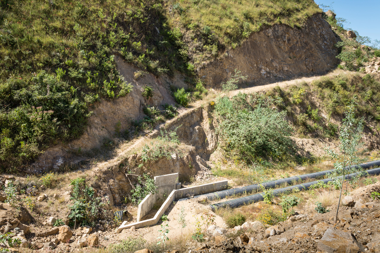
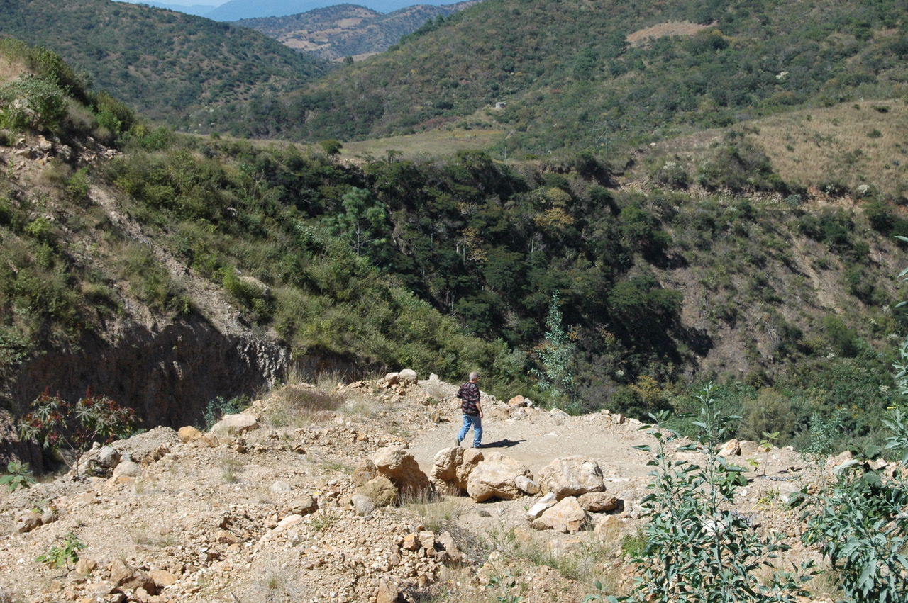
Back in 2015, the ¡Viva Puerto! crew was able to travel from Ventanilla to Barranca Larga in around 5 hours, including detours around unfinished (or not even started) tunnels and bridges. In October 2017, we could not even approach the first (Santa Martha) tunnel. Just 14 km from the Colotepec bridge (18 km from the tunnel) the culvert had broken and washed away. There was no way to cross the gorge with our Jeep. We did get some good drone photos, however.
The saddest part of the project in Colotepec were the number of rock slides on the “completed” roadway. It made us question the competence of the ICA engineers, or maybe it was the complicated geology of the region. In the never-ending saga of man against nature, nature was definitely winning this round.
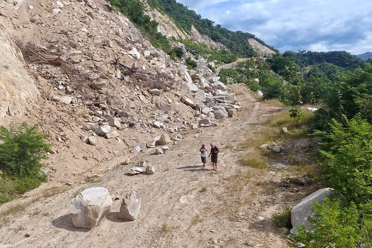
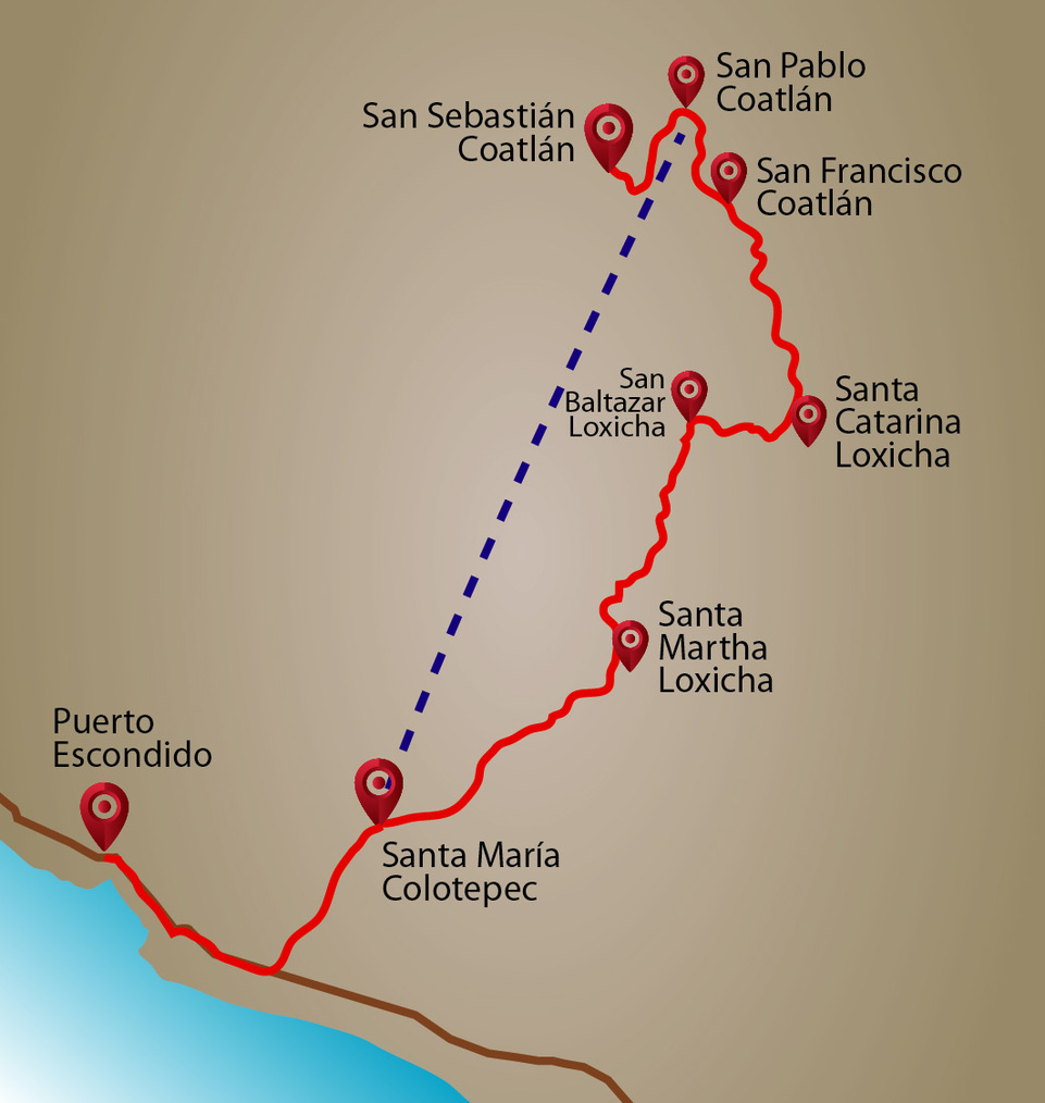
Then in November 2017, we ventured to San Pablo Coatlán — a five-hour trip, almost entirely on dirt roads through the mountains. It took two hours just to go the 44 kilometers from the Coast highway entrance to Santa María Colotepec to Santa Martha Loxicha, the first big town after Colotepec. We skirted numerous rock slides on the 27 kilometers of deeply rutted dirt road on the east side of the Colotepec River between these two towns.
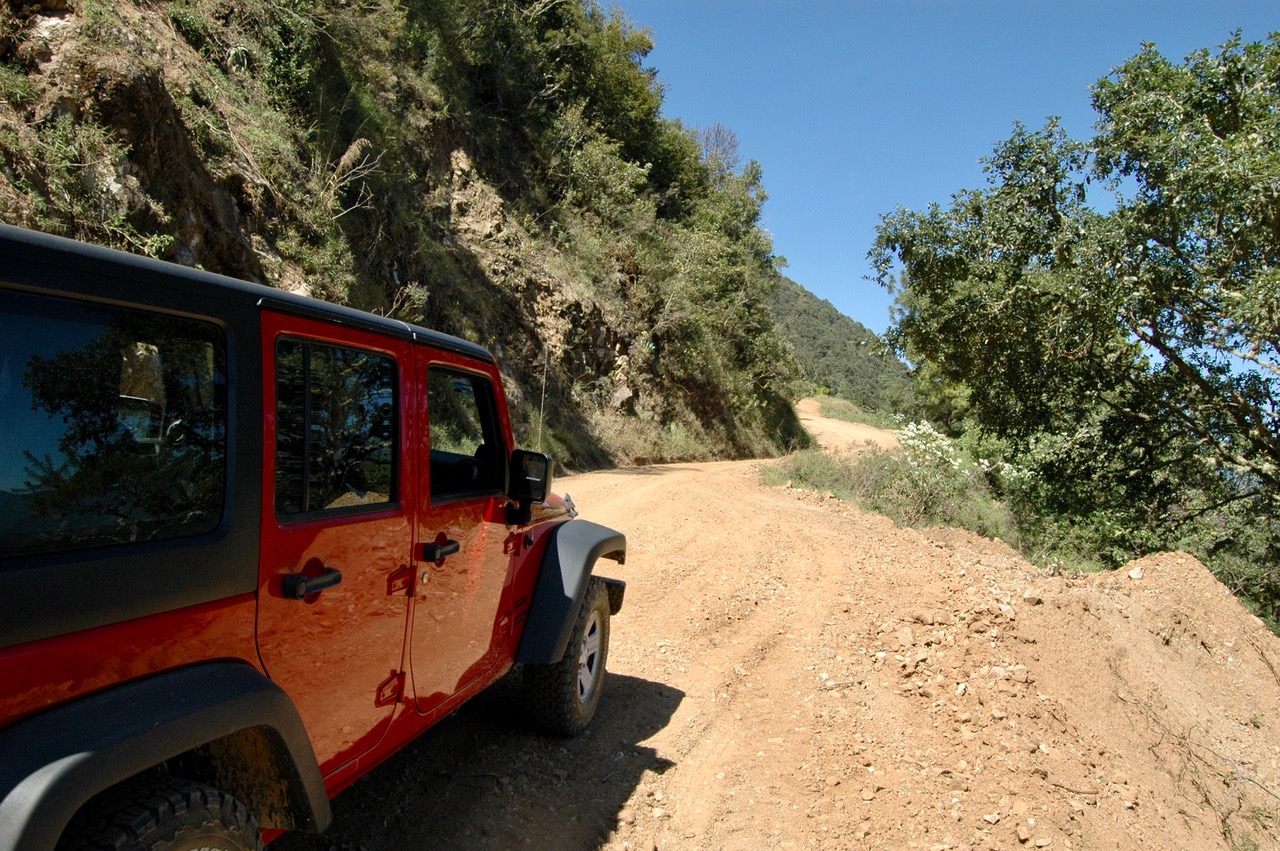
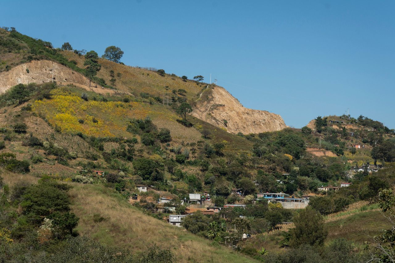
Photo: Barbara Joan Schaffer
The next 53 kilometers were a piece of cake. The dirt road from Santa Martha to San Baltazar Loxicha and from there to San Pablo Coatlán was in excellent condition. The high point of our trip was the 35-kilometer stretch over steep mountains and ridges with breathtaking views between San Baltazar and San Francisco Coatlán. This part of the journey took almost three hours (we drove slowly).
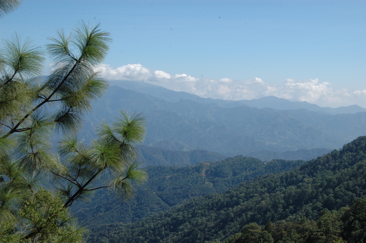
Photo: Barbara Joan Schaffer
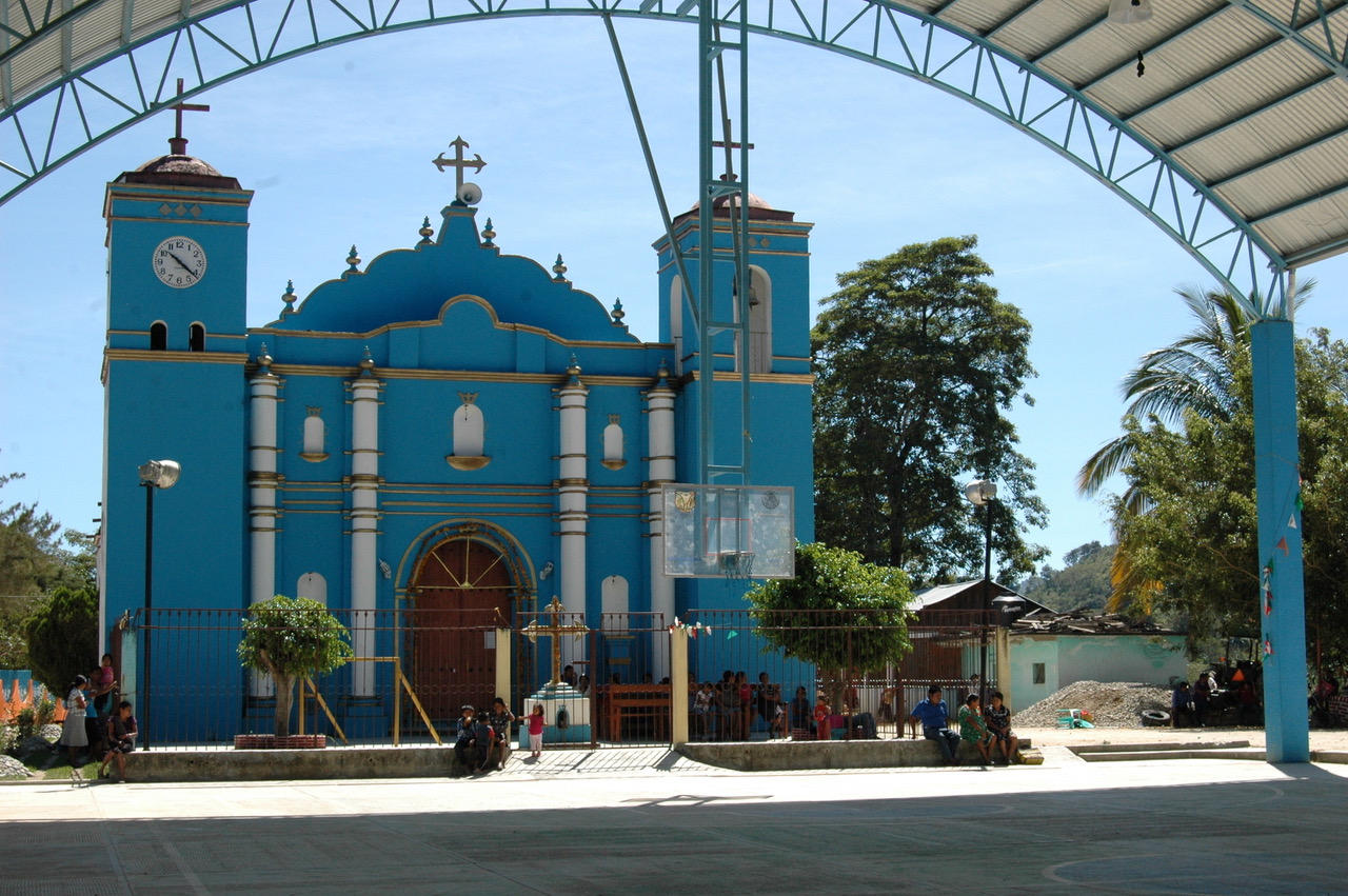
We got to San Pablo after a short lunch stop in San Francisco and went out to see the super highway, but lo and behold, it wasn’t there! If it weren’t for a stone marker with the number 135+ painted in blue — an ICA construction sign indicating the distance from Barranca Larga was 35 km, — you wouldn’t have known that only two years earlier this had been a major construction site replete with heavy machinery and that it had been possible to drive from there to the northern end of the highway where it joined route 175 in Ejutla. I questioned my memory of that 35 km drive I had taken in September, 2015. But the locals assured me that it was true. They used to take this road on Saturday afternoons and Sundays when no construction work was going on.
IT’S COMPLICATED
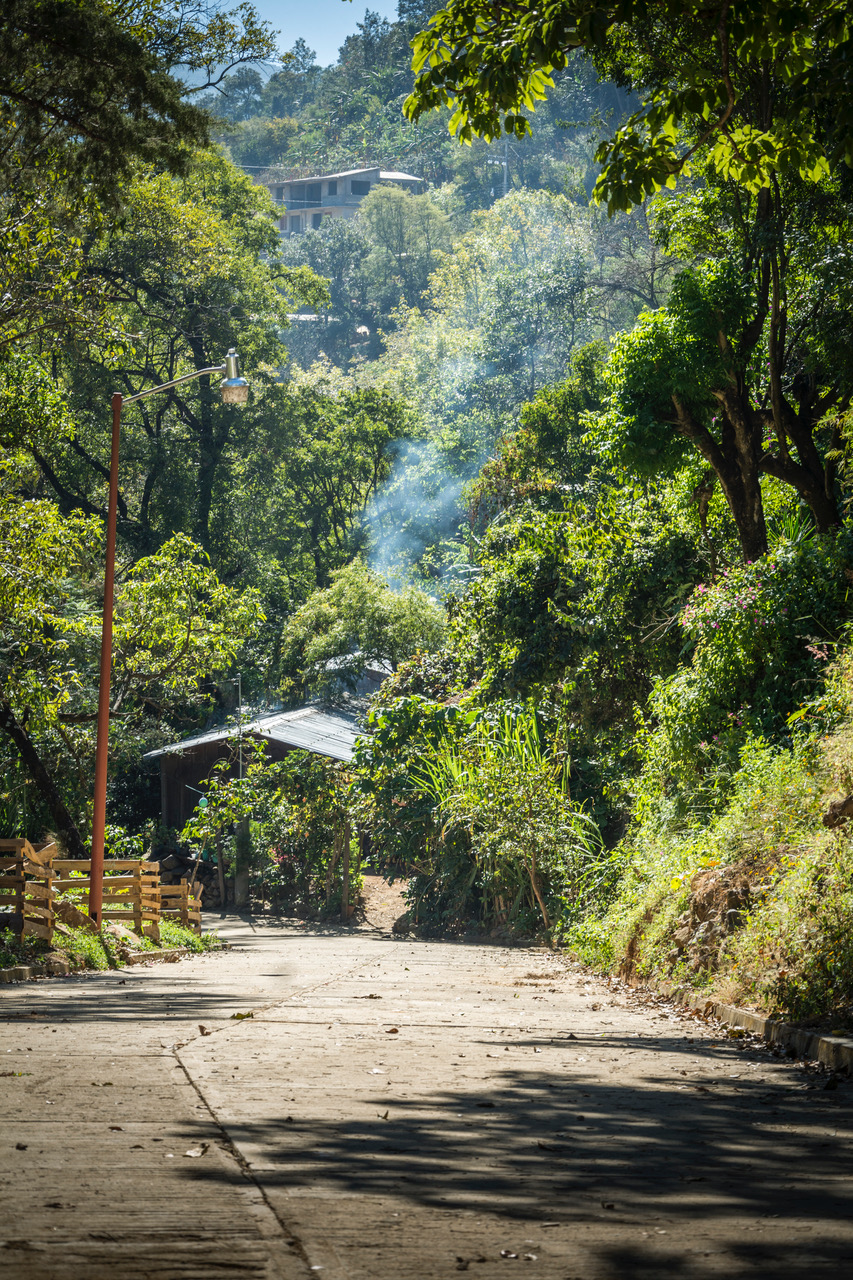
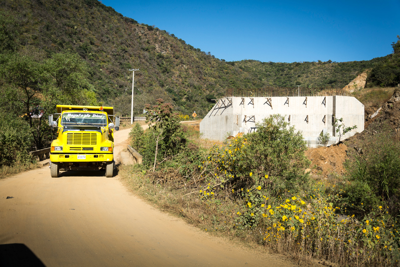
Photo: Ernesto J. Torres
“If we build it, they will come” may explain the thinking behind the construction of access roads to the highway which began in November. These roads are being built by the local communities with state funding. One will connect San Francisco and San Pablo to the entrance to the highway, another will connect San Sebastián Coatlán to El Gavilán, a village 5 km to the south, where there will be a highway entrance not included in the original plan.
Despite this activity, no investors have come forward to take over the concession that ICA gave up in July of 2016. One problem is that whoever takes up the concession also takes on ICA‘s outstanding debts to three construction companies and to union construction workers. ICA also made agreements with various communities to compensate for service roads, destruction of the environment, and construction sites outside of the highway. These agreements will also have to be honored.
Then there is the problem of the six kilometers near San Pablo which will include a tunnel through the mountains. The communities of San Francisco Coatlán and San Sebastián Coatlán both claim ownership of this land. It is up to the Agrarian Court in Oaxaca to settle the dispute. The court sent an official to inspect the site in 2015, according to the Bienes Comunales of San Sebastián. No action has been taken since then.
The good news is that the delegate of the Department of Communications and Transportation (SCT) announced in July that the highway will be completed within 18 months. The clock is ticking.