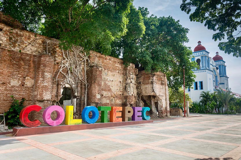
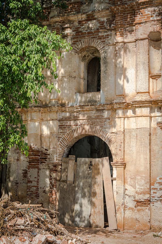
Santa María Colotepec
Where to begin? The history of the Oaxaca coast is long and complicated. The people who inhabited what is now Santa María Colotepec spoke Zapotec, as many communities still do in San Pedro Pochutla. But at the time of the Spanish conquest, the Oaxaca coast was under the dominion of the Mixtecs of Tututepec. (See Vivapuerto.com #15)
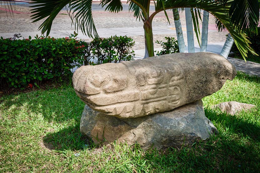
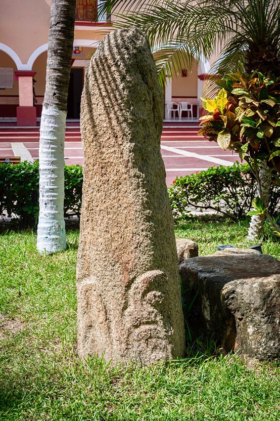
The people of Colotepec consider 1714 as the official date of the founding of the community. Its present borders were established as a result of a land dispute settled by the colonial authorities. The 11 stone landmarks (mojoneras) date back to 1715. The mojonera found in the old cemetery near the Puerto Escondido lighthouse marks the western border; the one in Puertecito marks Colotepec’s eastern boundary.
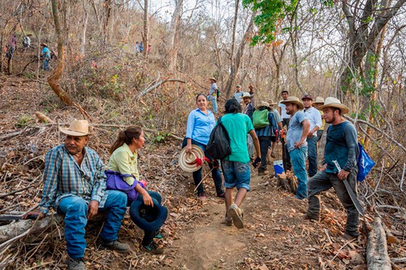
The Border
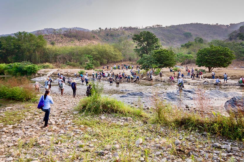
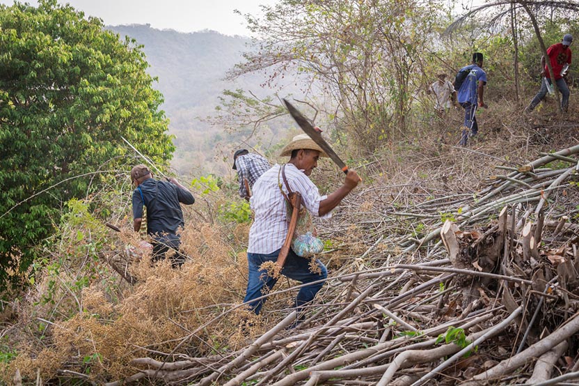
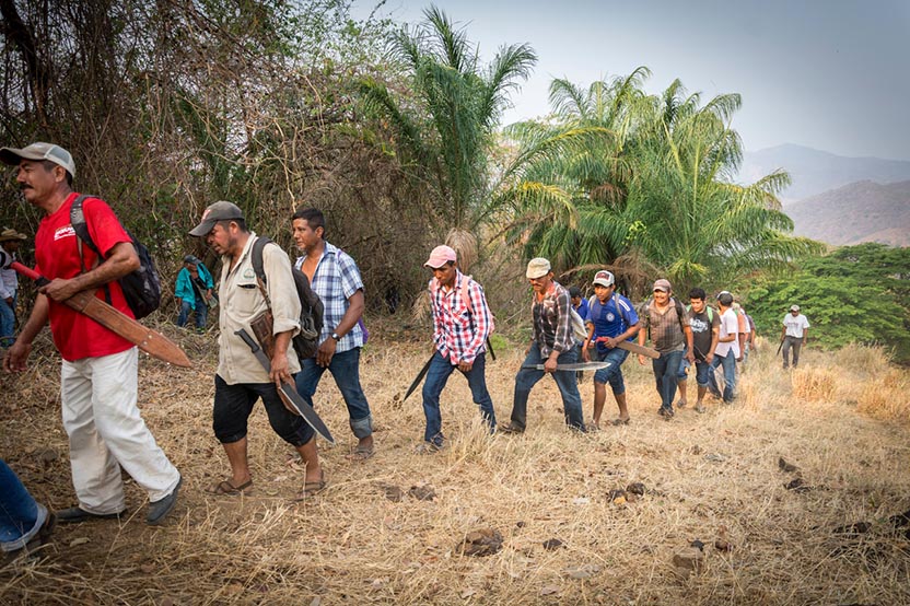
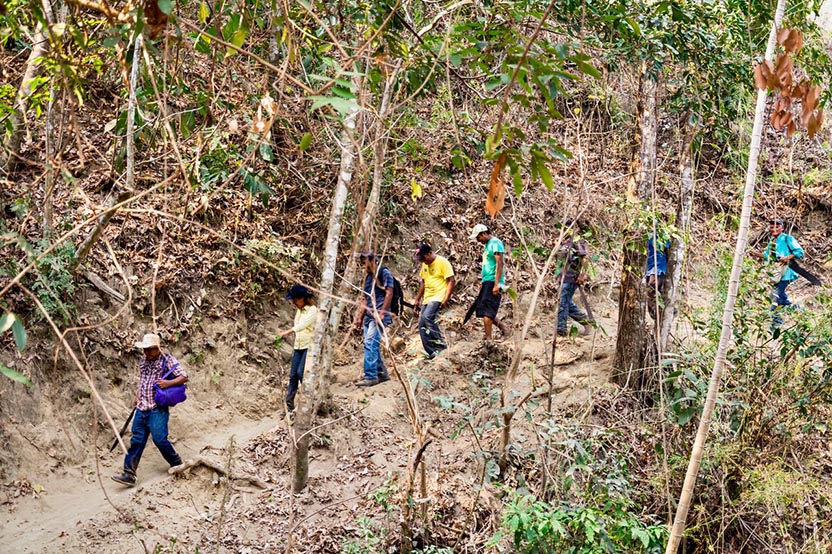
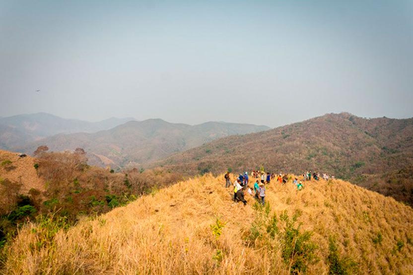
Every year, on May 5, the 2,000 comuneros of Santa María Colotepec clear the land between the stone landmarks (mojoneras) that indicate the borders of the municipio.