Art: Julio Soto
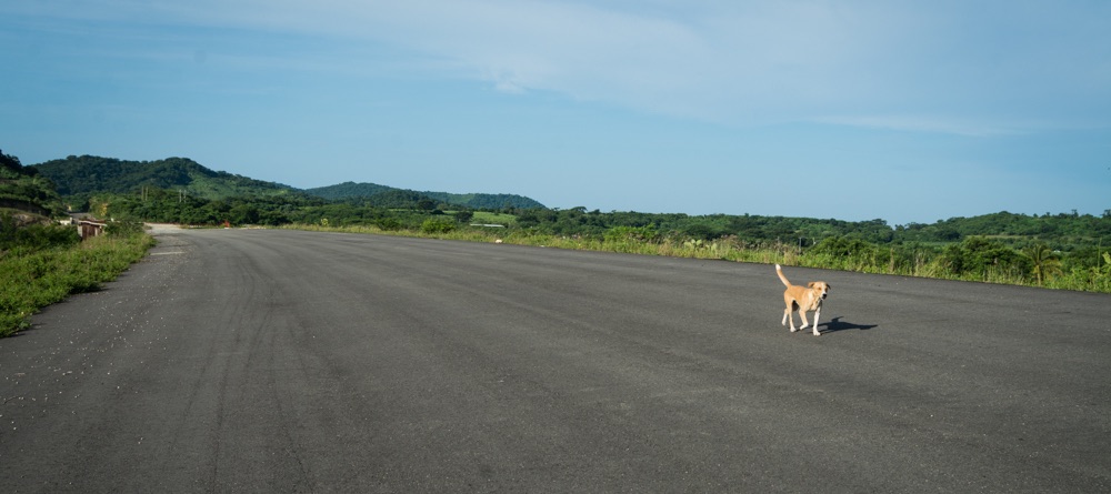
Photo: Ernesto J. Torres, Casa 12
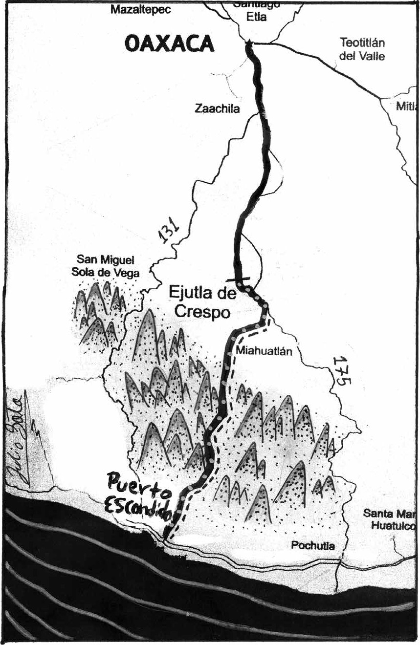
Highway to Oaxaca Halted
¡Viva Puerto! has been reporting since 2010 on the construction of a 104 km toll road that will connect Puerto Escondido to Oaxaca via Ejutla. Once completed, the drive time from the Coast to the Capital will be only 2½ hours.

Photo: Ernesto J. Torres, Casa 12
It’s official. In July the Federal Department of Communications and Transportation (SCT) announced that ICA is returning its concession to build the toll road that will link Puerto Escondido to Oaxaca. As we reported last year, construction had more or less come to a halt during the summer of 2015 due to ICA’s precarious financial situation.
The Federal government has made it clear that it does not have the funds to complete the highway, which it says is 51% done. The plan is to solicit bids for the 30-year concession sometime in 2017 after ICA and the SCT have squared their accounts. The federal highway budget was cut 44% for 2017.
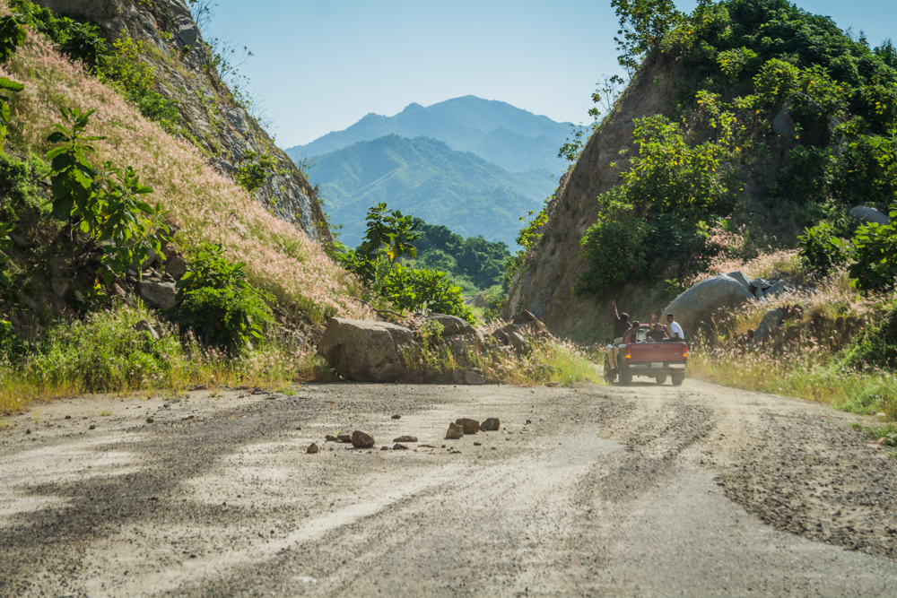
Photo: Ernesto J. Torres, Casa 12
Local farmers, meanwhile, have free use of almost 10 km of paved highway, including the bridge over the Colotepec River near the town of Santa María Colotepec. This is a great boon for the people of Rancheria los Figueroas, El Salitre, Quequeztle, Nueva Esperanza, Cerro del Caballo, Los Sarmiento, and Piedras Negras and other communities between the Colotepec and Potrero Rivers. Up until a few years ago, produce from their farms was brought across the Colotepec River upstream by burro.

When the highway is completed, there will be no access between the east side of the Colotepec bridge and San Antonio Lalana— a distance of 30 km that includes the Santa Martha tunnel. There will be two overpasses, however, and the service bridge built over culverts will be open to local traffic during the dry season.
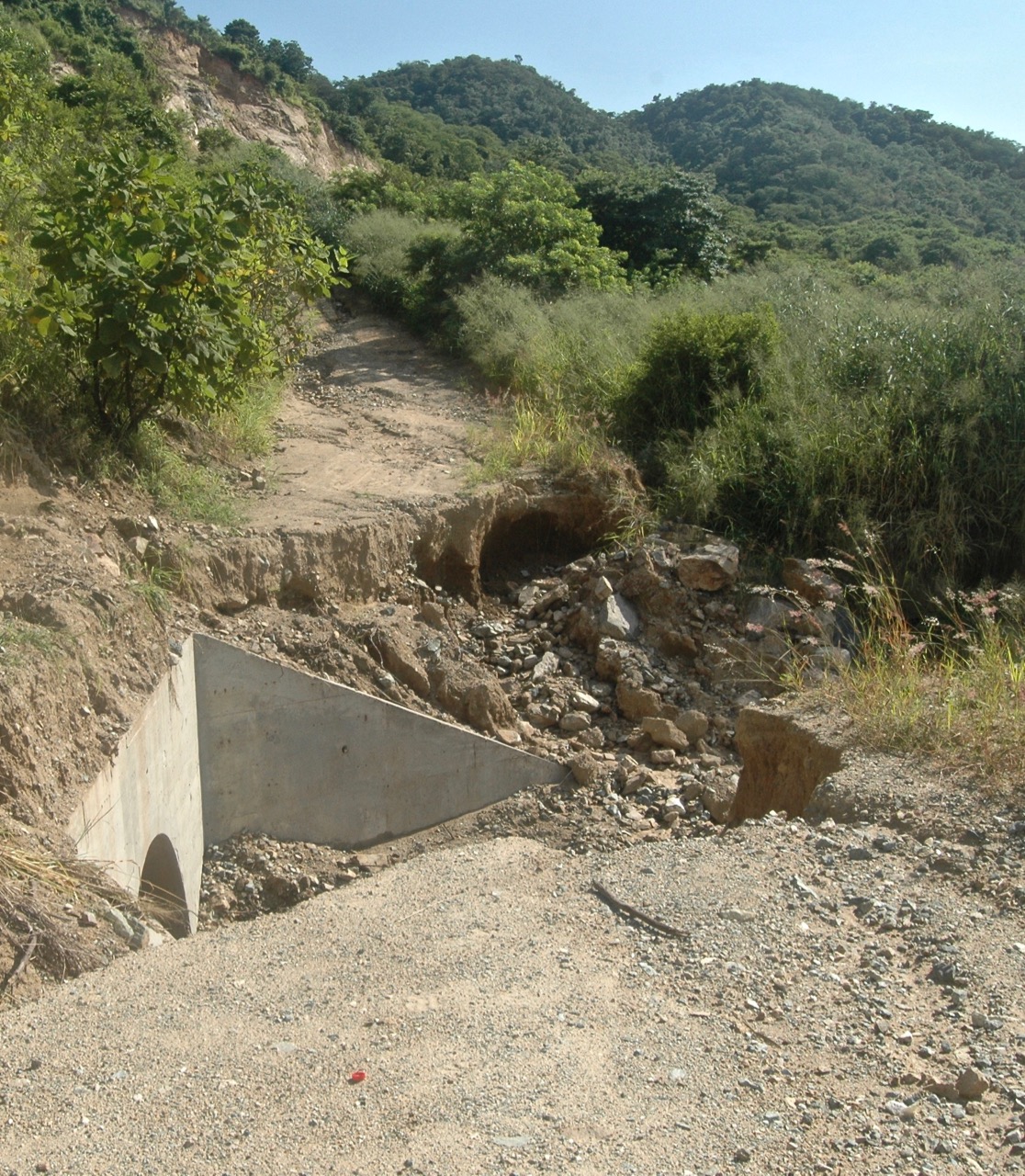
Photo: Barbara Joan Schaffer
On September 21 we rented a jeep with 4-wheel drive from Tres Reyes intending to get as far as the almost completed Santa Martha tunnel at the northern limit of Colotepec, 30 km from where the highway begins in Ventanilla. I was imagining cave-ins, bats, dead animals… But the trip ended ten km south of the tunnel, at the detour around the still incomplete Atotonilco bridge; the culvert that had supported the road was washed away by this summer’s rains, leaving an impassable gap. It would have taken at least three hours — via Santa Catarina Loxicha and San Antonio Lalana — to get to the other side. Later we heard that the section of the highway between Atotonilco and Santa Martha had suffered serious landslides.
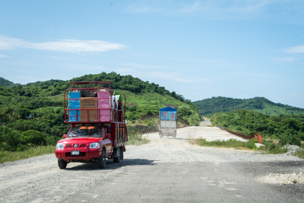
Photo: Ernesto J. Torres, Casa 12